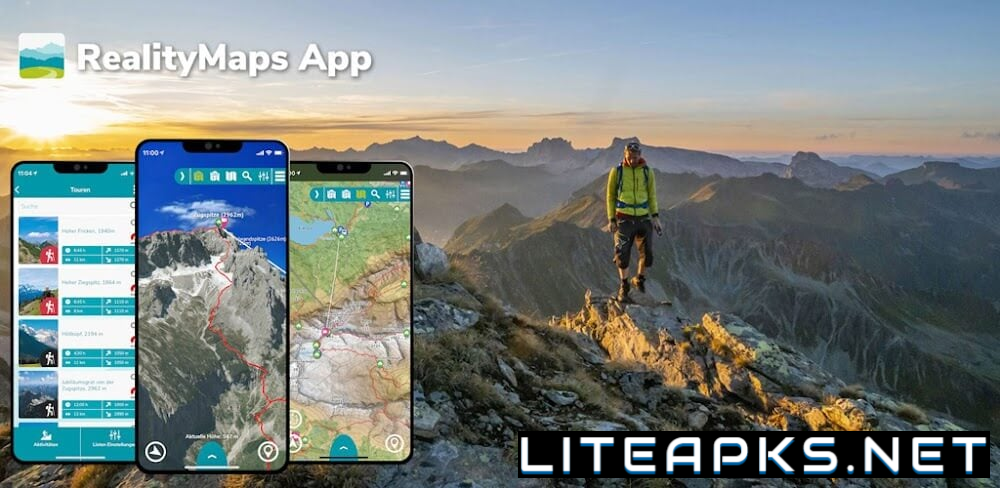
Get ready to embark on a whole new level of outdoor exploration with the innovative app, RealityMaps. It’s time to lace up your hiking boots, dust off your compass, and unleash your inner adventurer! This cutting-edge application will revolutionize your outdoor experiences with its advanced 3D landscapes. With practical features such as GPS tracking, offline maps, route planning, and GPX import, it’s no wonder this groundbreaking app has received numerous awards and is considered a one-stop shop for organizing outdoor adventures.
EXPLORING TOPOGRAPHY LIKE NEVER BEFORE WITH 3D MAPPING
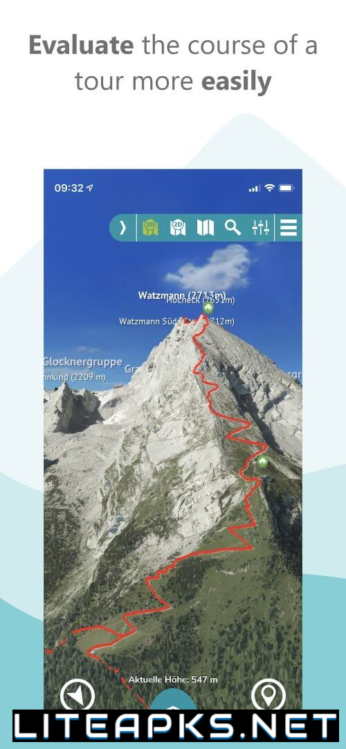
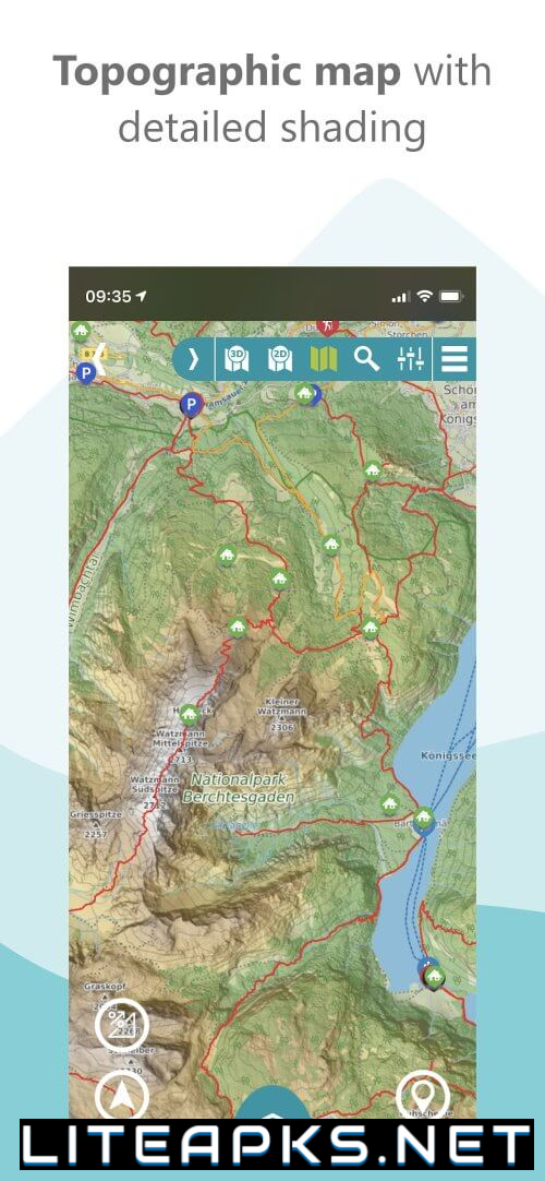
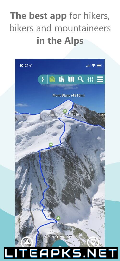
Thanks to its state-of-the-art 3D mapping technology, RealityMaps is pushing the boundaries of traditional cartography and providing users with the most precise and realistic maps. By using advanced aerial and satellite image processing, the app offers incredibly detailed depictions of various landscapes, including the Alps, Pyrenees, and even Mt. Everest and the Himalayas. Users can also download a free world topographical map at a scale of 1:10,000, showcasing the app’s pioneering mapping technologies.
EXPERT-RECOMMENDED TOURS FOR EVERY SEASON
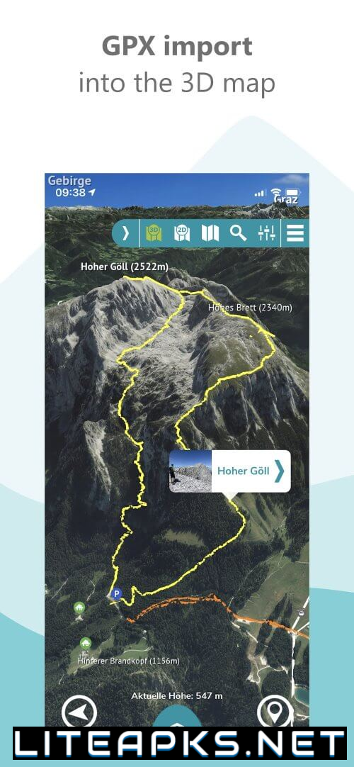
Regardless of your preferred outdoor activity, be it biking, mountain climbing, skiing, or hiking, RealityMaps has a tour option for you. By collaborating with Bergverlag Rother and other partners, the app offers a variety of expertly curated tours tailored to different skill levels and preferences. And with the ability to import GPX files and integrate with Komoot in the 3D map, planning your adventures has never been easier.
ADVANCED NAVIGATION & TRACKING TO KEEP YOU ON THE RIGHT PATH
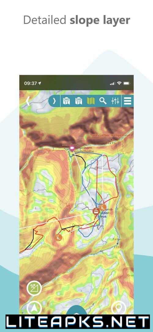
Safety is of utmost importance to RealityMaps, which is why the app not only shows you the route, but also helps you navigate it safely. By combining 3D maps, aerial photos, and topographical relief maps at a scale of 1:25,000, the app allows you to plan your trips meticulously. The GPS tracking feature turns your smartphone into a valuable navigation tool, while the intuitive routing function lets you create new routes directly on the 3D map. And for a comprehensive view of your surroundings, the app also offers a 360° panorama.
SAFETY MEASURES AND EXCLUSIVE BENEFITS FOR PREMIUM USERS
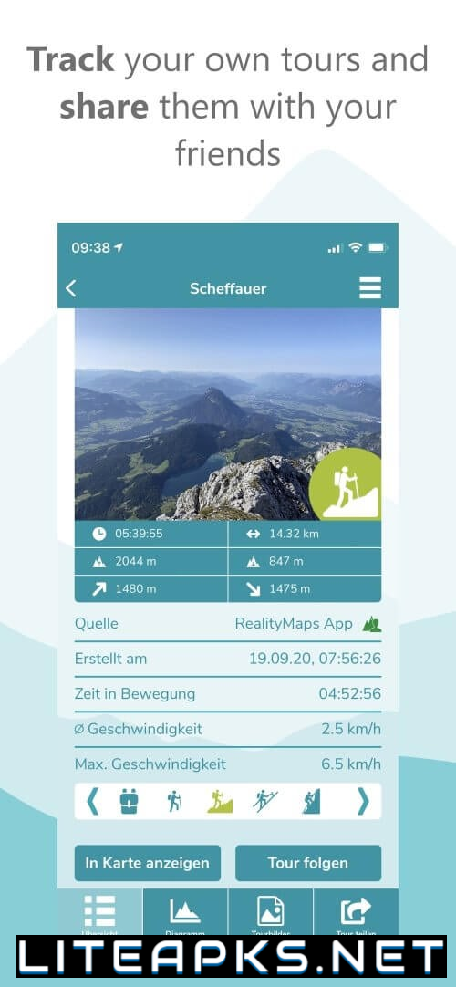
At RealityMaps, your safety is a top priority. The app’s photorealistic 3D maps accurately depict the terrain and potential hazards, making it a reliable companion in challenging weather conditions or low visibility. And with offline maps, you can explore even the most remote areas without worrying about losing reception. But that’s not all – as a premium user, you can also save and share your tracks, import GPX files, plan tours in 3D, and use offline maps on your smartphone.
With continuous development and updates, RealityMaps will always stay ahead of the game, ensuring that your outdoor adventures are taken to the next level. So get ready, step outside, and let RealityMaps guide you to your next exciting outdoor adventure. The great outdoors is waiting to be explored – are you ready?
