ALTIMETER: THE ULTIMATE OUTDOOR EXPLORATION TOOL
Altimeter is a must-have smart tracking app for outdoor enthusiasts. It allows hikers, skiers, and mountain bikers to monitor elevation, coordinates, and other important statistics during their adventures. With a variety of sensors, Altimeter provides accurate real-time data even in remote areas without cell service.
ACCURATE ELEVATION TRACKING
The core function of Altimeter is to use the phone’s barometric pressure sensor to measure altitude changes down to the meter or foot. This feature is especially useful when navigating challenging terrains. It tracks the progress of ascent and descent and records the highest and lowest elevations reached. The readings are constantly updated, providing explorers with reliable information throughout their journey.
GPS ACCESS WITHOUT INTERNET
One of the most crucial features of Altimeter is its ability to function without internet connectivity. By utilizing satellites, its GPS integration can gather coordinate and altitude data even when in the wilderness. This allows adventurers to confidently trek without losing their bearings. The app works globally across all continents and environments.
ENHANCED SENSING THROUGH CALIBRATION
Altimeter goes a step further by intelligently combining sensor readings. When internet access is available, it calibrates the GPS and barometer against authoritative geoid models to improve accuracy. This sensor fusion results in unmatched precision, showcasing the power of smart technology.
REAL-TIME DISPLAY FOR EASY MONITORING
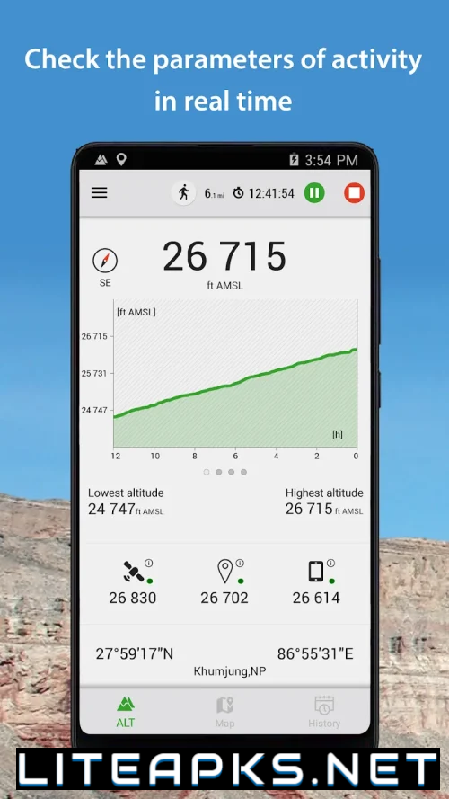
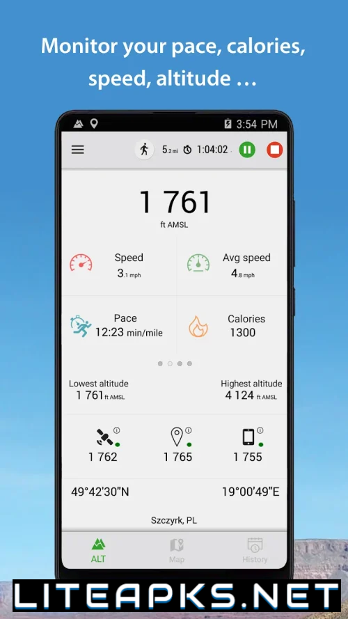
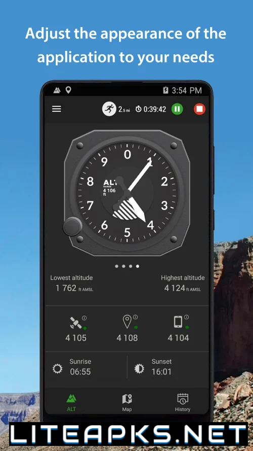
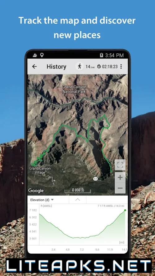
The app presents its comprehensive sensory measurements in a clear and easy-to-understand real-time display. Important statistics such as current elevation, maximum height reached, and lowest point are prominently displayed and logged for post-trip analysis. A mini map also charts elevation changes on graphs, providing a quick overview of the trip’s contours.
GEOGRAPHIC IDENTIFICATION AND TAGGING
In addition to tracking elevation, Altimeter also enriches recorded waypoints by identifying place names and geographic descriptors using both onboard and online databases. It pins longitude and latitude coordinates and associates each measurement with its nearest recognizable landmark or geographical region, making it easy for users to reference later.
SOCIAL SHARING AND MEMORIES
To relive their outdoor adventures, users can share snapshots of their peak altitude achievements with friends through Altimeter’s integrated social tools. The photos are automatically geotagged with the summit location, making them a proud visual memento of their accomplishments.
With its multi-layered instrumentation and sensor fusion for accuracy and resilience, Altimeter offers more than just altitude readings. It provides complete off-grid orientation, activity logging, and location context, giving explorers a technological advantage and enhancing their connection to the awe-inspiring natural world around them.
